If you're nearby
Scored from our data, not ads.
Weekdays · quietest around 8a
Weekends · quietest around 8p
Estimate from the type of place and how famous it is. Holidays run busier.
Boulder River Wilderness is a 48,674-acre (197 km2) wilderness area within the Mount Baker-Snoqualmie National Forest in the western Cascade Range of Washington state.
Topography
Boulder River Wilderness is made up of dense forests and steep ridges that rise to the summits of Three Fingers and Whitehorse Mountain. Elevations range from 1,000 feet (305 m) in the Boulder River Valley to the 6,850 feet (2,088 m) south peak of Three Fingers. South Peak is also home to an old fire lookout. This high ridge bears a narrow saw-toothed profile with several sharp summits, which include Liberty, Big Bear, and Whitehorse Mountains and Salish and Buckeye Peaks, all above 5,600 feet (1,707 m) in elevation. Several steep and heavily wooded ridges thrust out east and west from the central crest of the wilderness.
Boulder River, a tributary to the North Fork Stillaguamish River, is the wilderness area's primary drainage and runs approximately 10 miles (16 km) through the northwest section of the wilderness. The Long Creek Research Natural Area on the south slope of Wiley Ridge is also protected within the wilderness boundary.
Vegetation
Common vegetation in Boulder River Wilderness...
Text from Wikipedia: Boulder River Wilderness, CC BY-SA 4.0.
Official programs from the National Park Service. Details and sign-up on nps.gov.
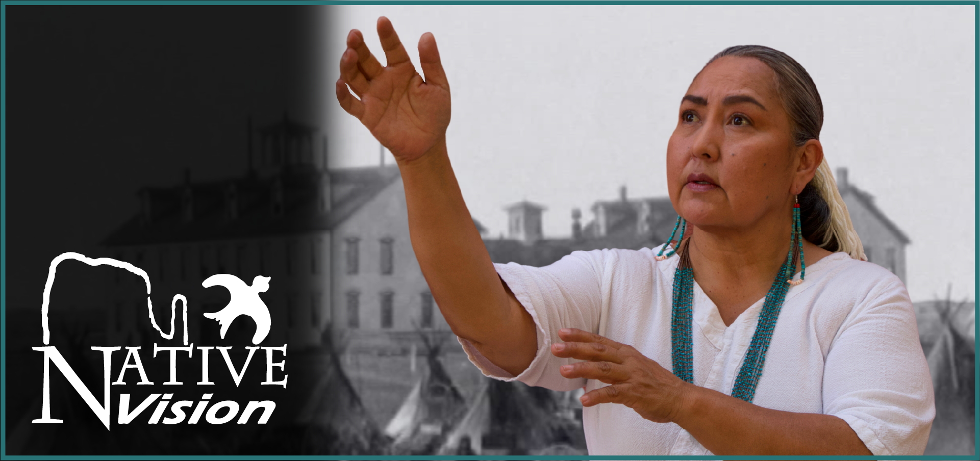 Free
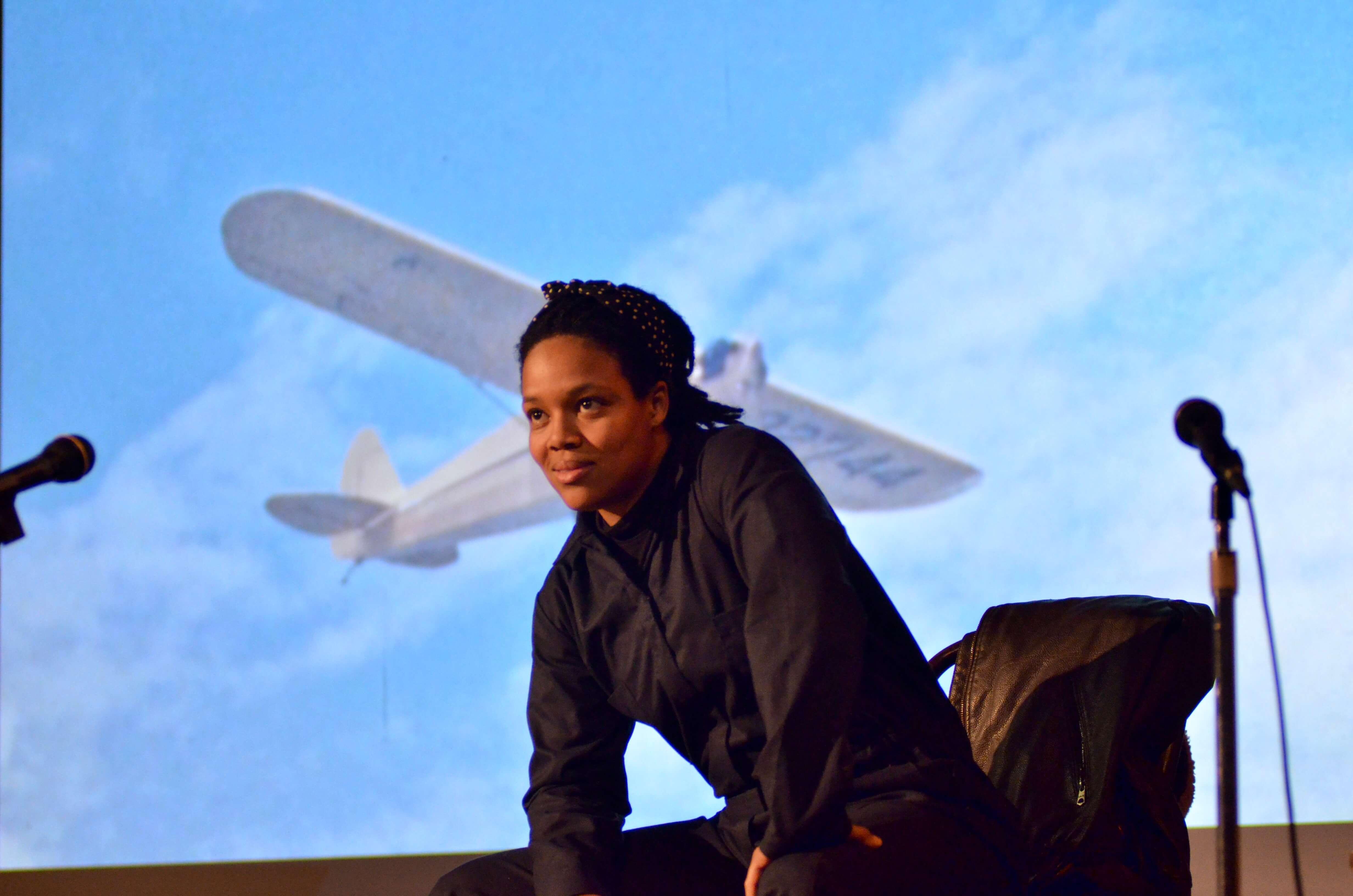 Free
 Free
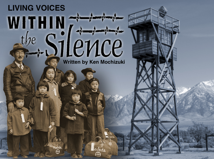 Free
 Free
Been to Boulder River Wilderness? Rate it and share the best time, where to park, what to skip.