If you're nearby
Scored from our data, not ads.
Weekdays · quietest around 8a
Weekends · quietest around 8p
Estimate from the type of place and how famous it is. Holidays run busier.
The Paria Canyon-Vermilion Cliffs Wilderness is a 112,500 acres (455 km2) wilderness area located in northern Arizona and southern Utah, United States, within the arid Colorado Plateau region. The wilderness is composed of broad plateaus, tall escarpments, and deep canyons.
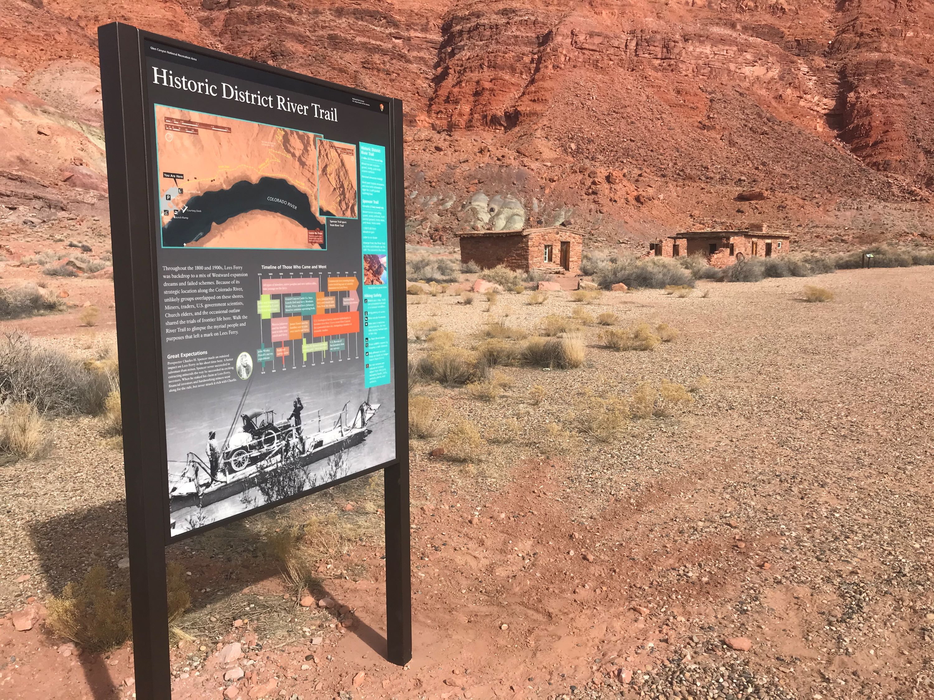
The Paria River flows through the wilderness before joining the Colorado River at Lee's Ferry, Arizona.
The U.S. Congress designated the wilderness area in 1984 and it was largely incorporated into the new Vermilion Cliffs National Monument proclaimed in 2000 by executive order of President Bill Clinton.
Both the wilderness area and the National Monument are administered by the federal Bureau of Land Management.
The Colorado Plateau and its river basins are of immense value in the Earth sciences, specifically chronostratigraphy, as the region contains multiple terrain features exposing miles-thick contiguous rock columns that geologists and paleobiologists use as reference strata of the geologic record.
Human history
Ancient petroglyphs, granaries, and campsites indicate that ancestral Puebloan people utilized the Wilderness between AD 200 and AD 1200. They hunted mule deer and bighorn sheep and grew corn,...
Text from Wikipedia: Paria Canyon-Vermilion Cliffs Wilderness, CC BY-SA 4.0.
Official programs from the National Park Service. Details and sign-up on nps.gov.
Been to Paria Canyon-Vermilion Cliffs Wilderness? Rate it and share the best time, where to park, what to skip.