
Worth it
Scored from our data, not ads.
Weekdays · quietest around 8a
Weekends · quietest around 8p
Estimate from the type of place and how famous it is. Holidays run busier.
The Fisher Hill Historic District encompasses a residential area in central Brookline, Massachusetts. The area was subdivided and built out beginning in the 1880s, with landscaping design by Frederick Law Olmsted and John Charles Olmsted. The district is bounded on the west by Chestnut Hill Avenue, Baxter Road, and Channing Road, and on the south by Massachusetts Route 9. Its eastern boundary runs along Buckminster Street to Dean Road, joining the northern boundary of Clinton Road, running between Dean Road and Chestnut Hill Avenue. Prior to its development in the 1880s, Fisher Hill had a relatively small number of landowners. Some of them banded together, hiring the Olmsteds to design a subdivision plan for the entire district. Lots were sold to wealthy individuals, who built fashionable houses, often designed by architects. In 1914 a restrictive covenant was entered into by a significant number of property owners, restricting their properties to strictly single-family residential uses.
The district was listed on the National Register of Historic Places in 1985.
National Register of Historic Places listings in Brookline, Massachusetts
Text from Wikipedia: Fisher Hill Historic District, CC BY-SA 4.0.
Official programs from the National Park Service. Details and sign-up on nps.gov.
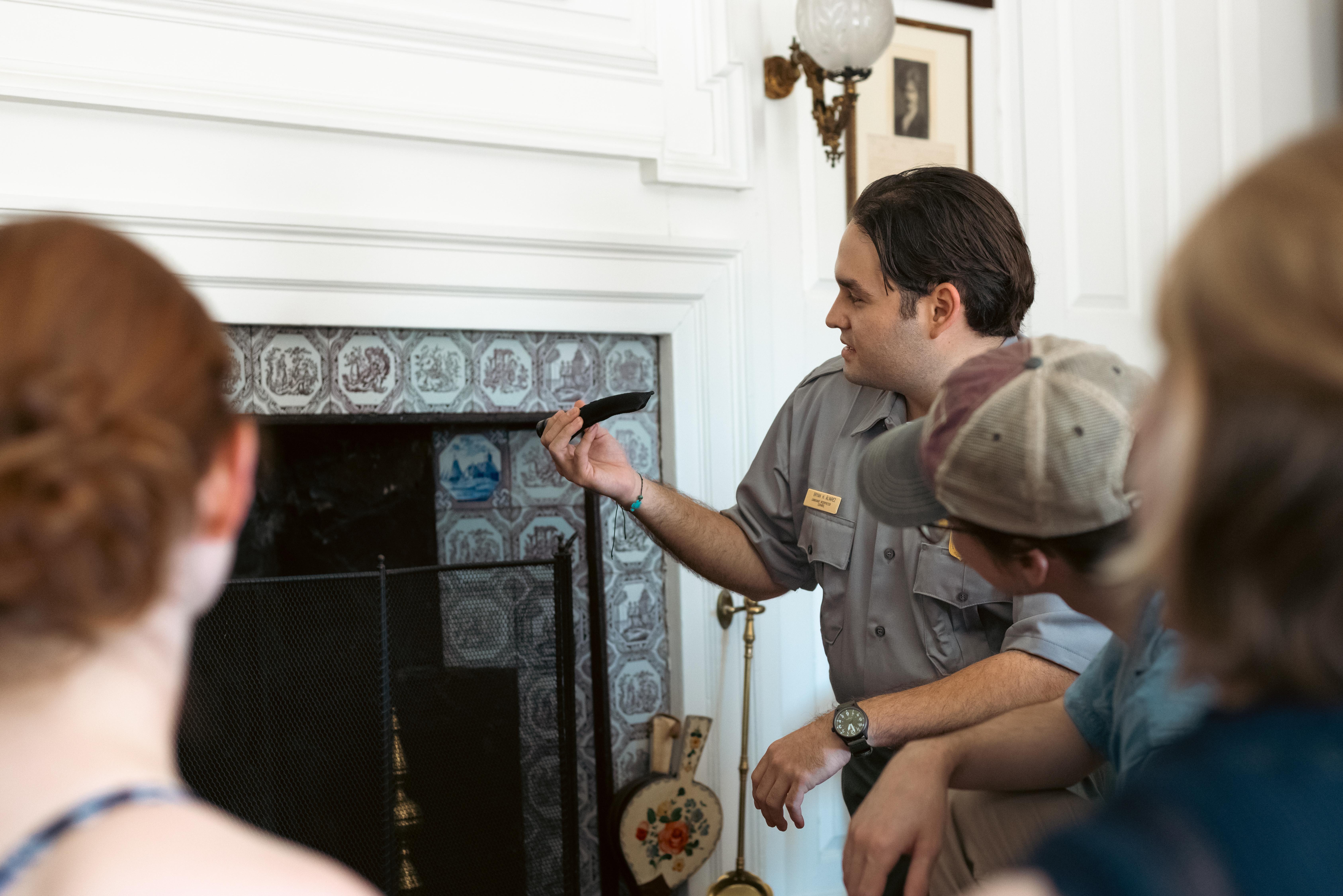 Free
 Free
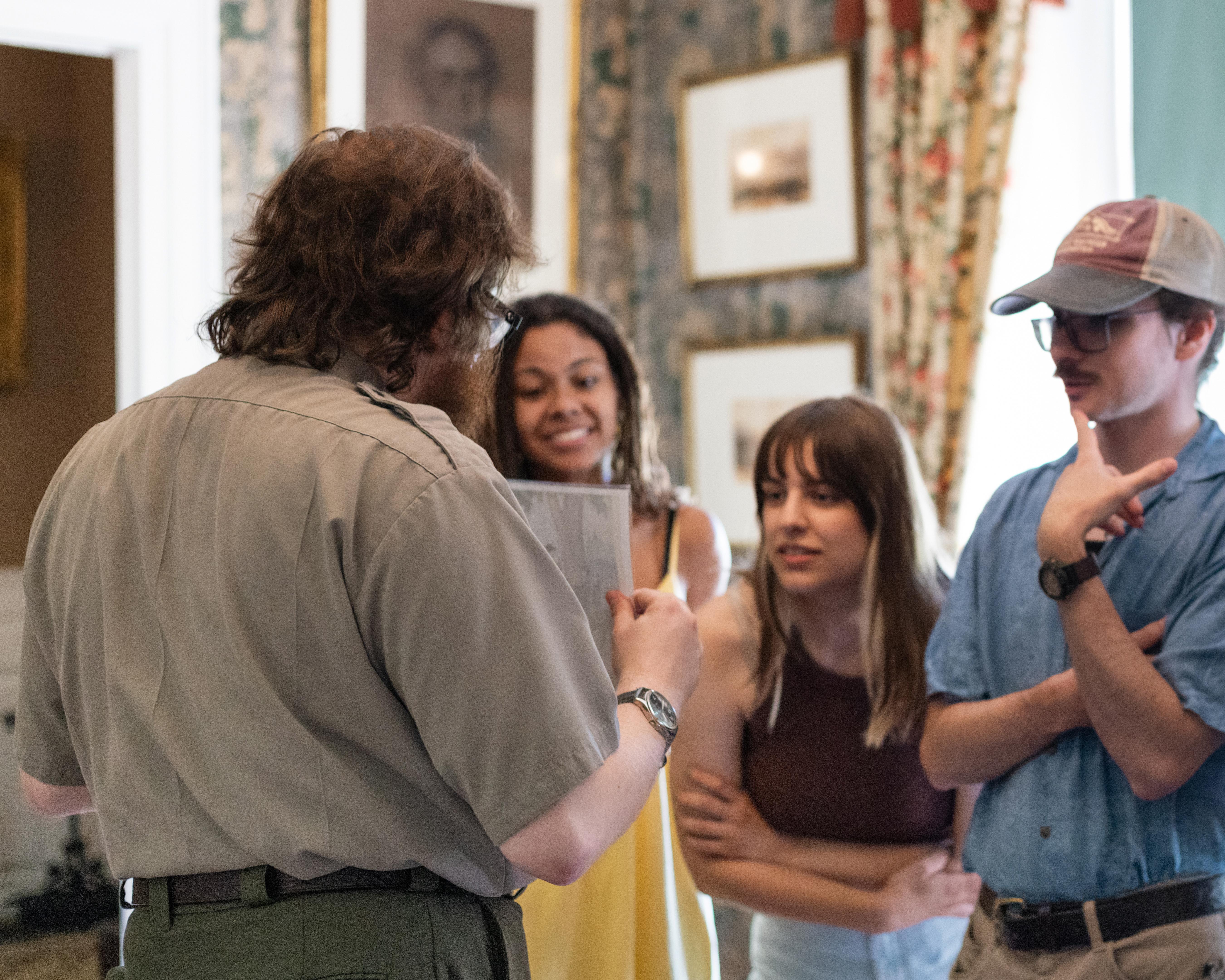 Free
 Free
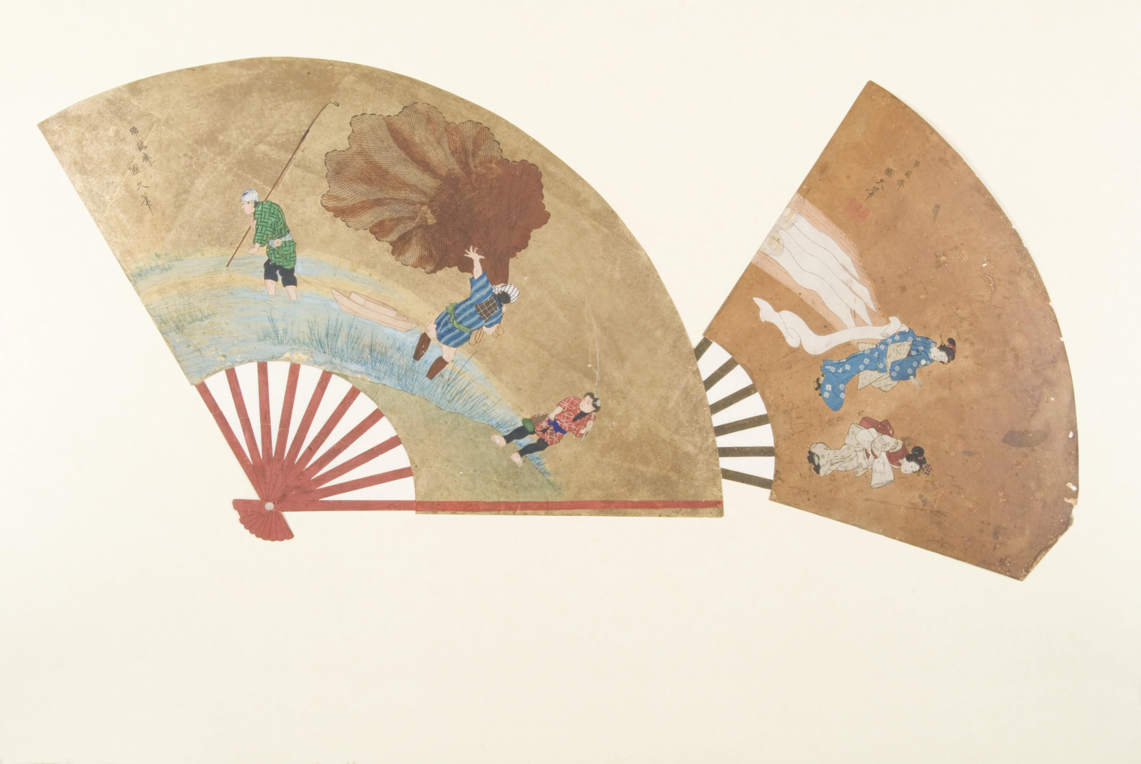 Free
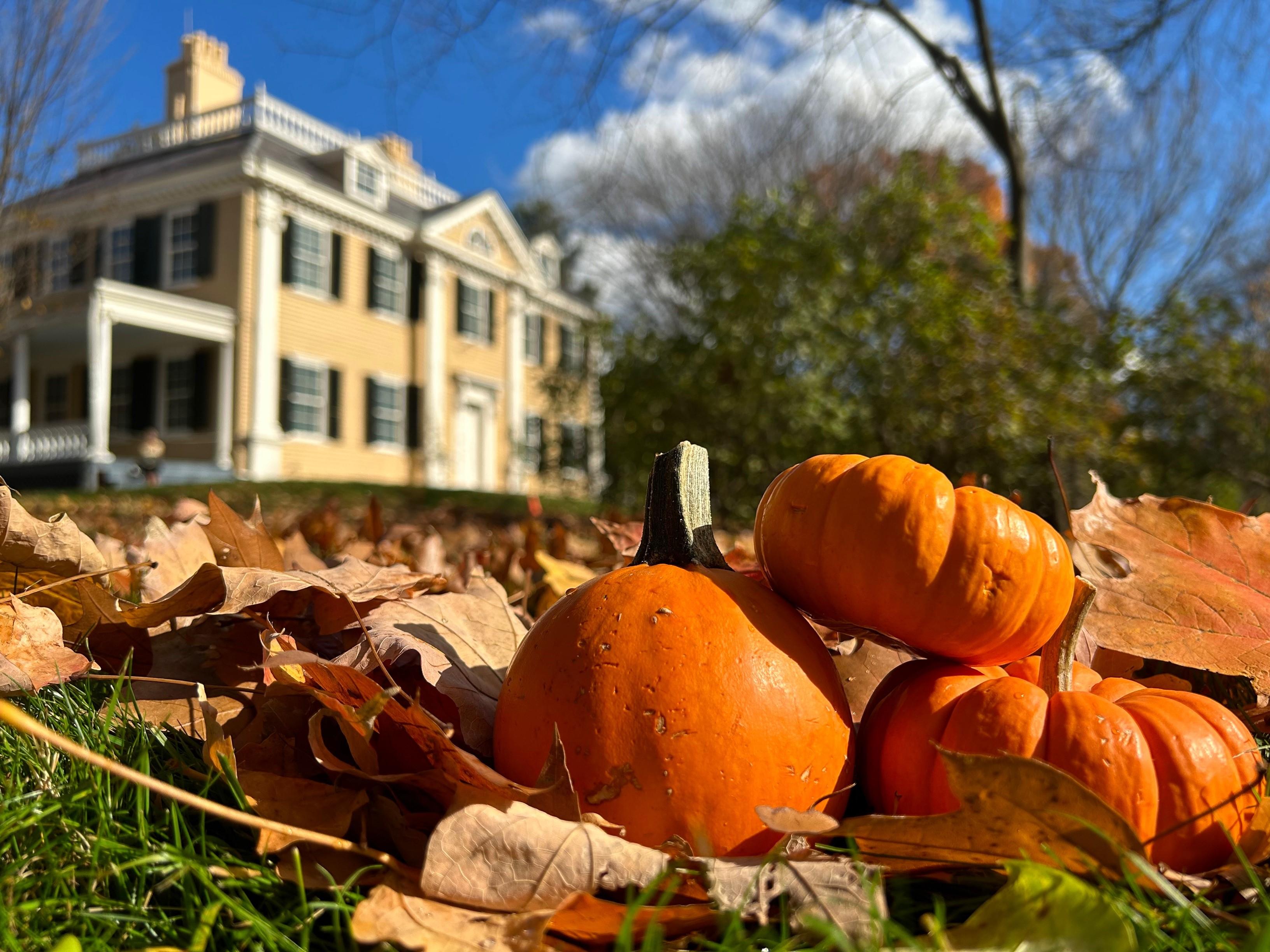 FreeFreeFree
Been to Fisher Hill Historic District? Rate it and share the best time, where to park, what to skip.



