
If you're nearby
Scored from our data, not ads.
Weekdays · quietest around 8a
Weekends · quietest around 8p
Estimate from the type of place and how famous it is. Holidays run busier.
The Sangre de Cristo Wilderness is about 70 miles (110 km) long from north to south and about 5 miles (8.0 km) wide with an area of 220,803 acres (893.56 km2)(345 sq miles). The Wilderness is in the Sangre de Cristo Range centered about Saguache and Custer counties, Colorado. Smaller areas are located in Fremont, Alamosa, and Huerfano counties. The wilderness area is part of the San Isabel and Rio Grande National Forests and Great Sand Dunes National Park and Preserve. The Wilderness embraces both eastern and western slopes of the steep and rugged Sangre de Cristos. Elevations range from about 8,300 ft (2,500 m) to 14,297 ft (4,358 m) at Crestone Peak, the seventh-highest mountain in Colorado.
A wilderness area is defined by law as "an area of undeveloped Federal land retaining its primeval character and influence, without permanent improvements or human habitation, which is protected and managed so as to preserve its natural conditions". All mechanized equipment, including drones, is prohibited in wilderness areas. Hiking and backpacking are the most important recreational activities in the wilderness.
Description
The Spanish language name means "blood of Christ." It is uncertain...
Text from Wikipedia: Sangre de Cristo Wilderness, CC BY-SA 4.0.
Official programs from the National Park Service. Details and sign-up on nps.gov.
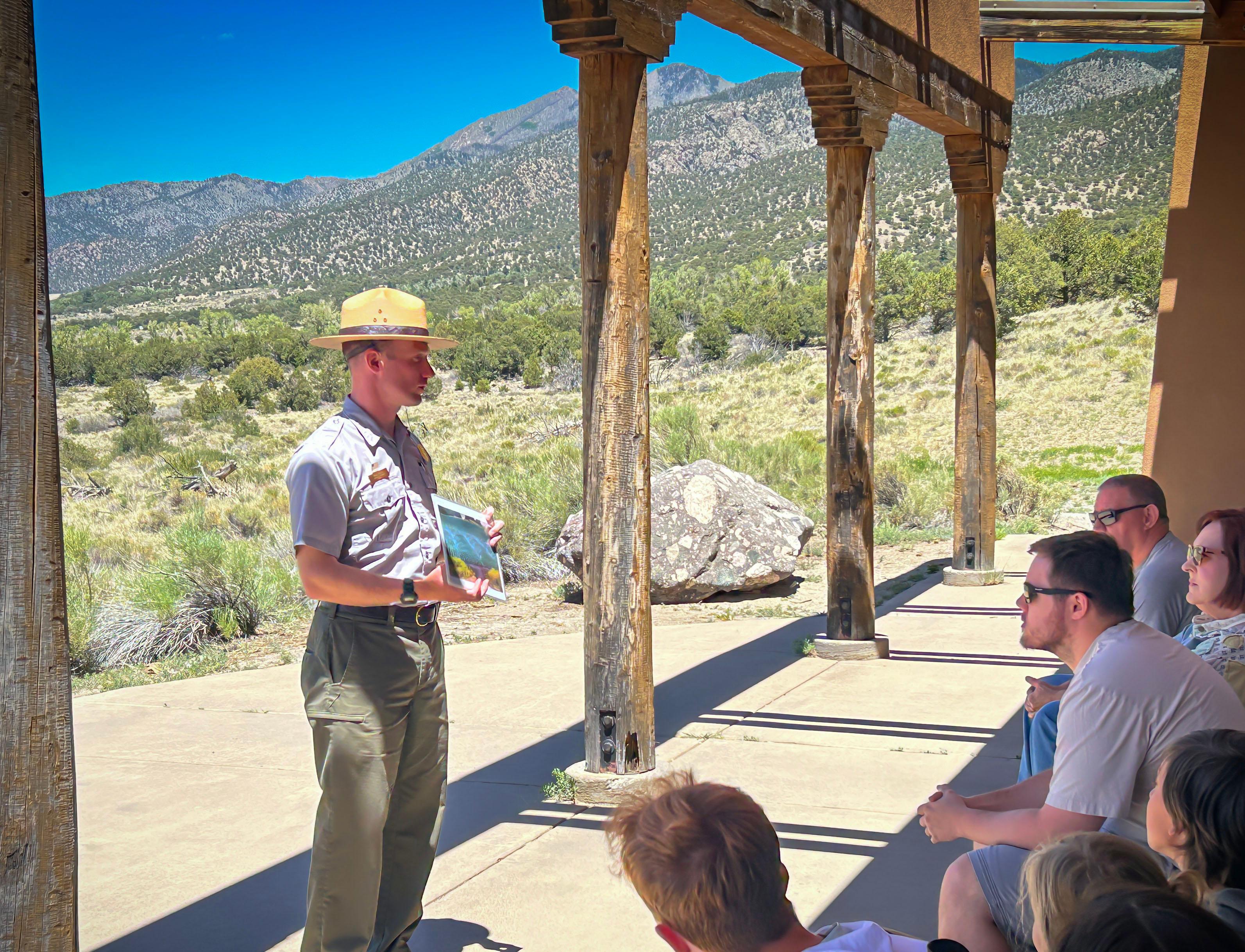 Free
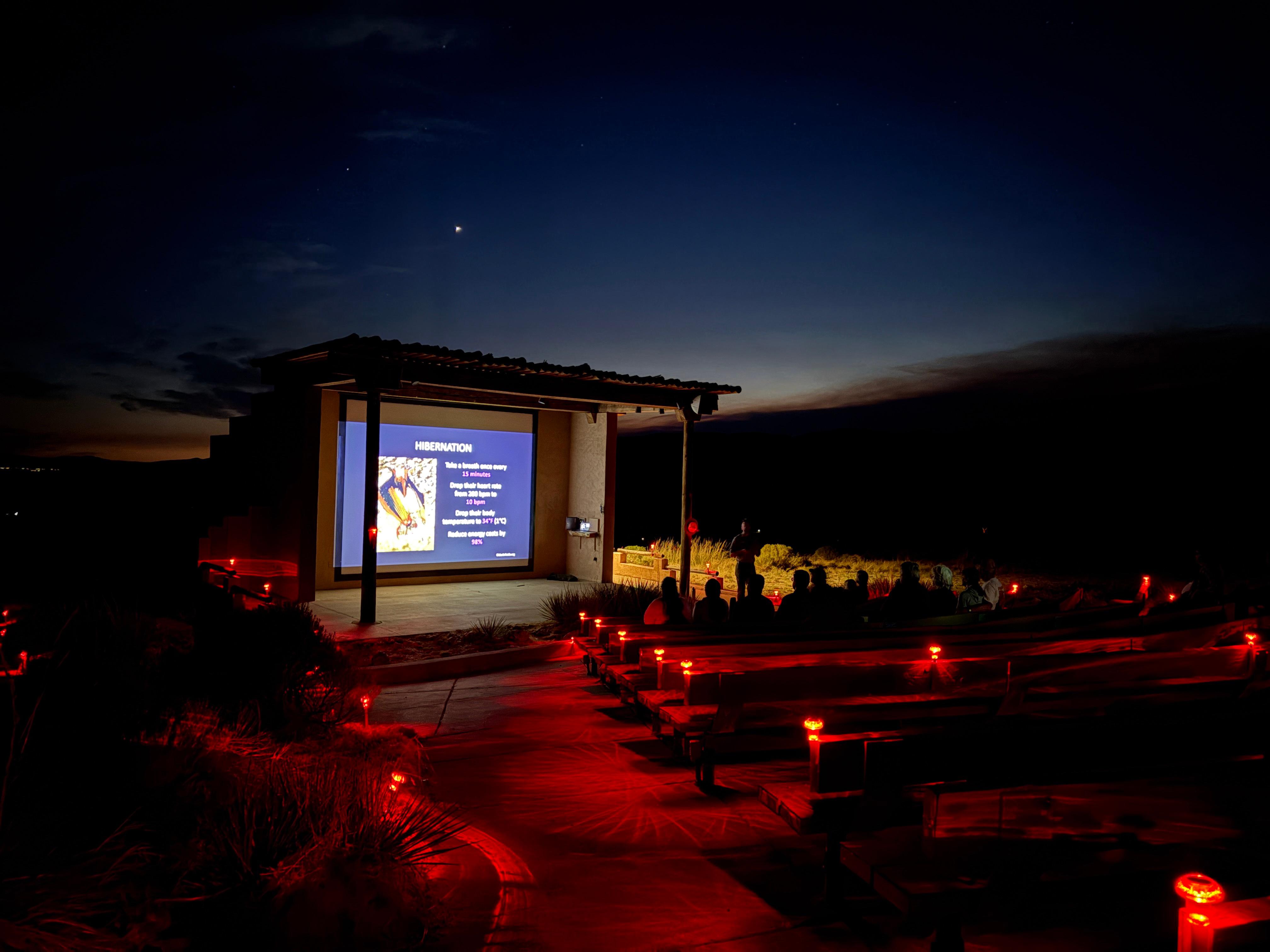 Free
Been to Sangre de Cristo Wilderness? Rate it and share the best time, where to park, what to skip.
