If you're nearby
Scored from our data, not ads.
Weekdays · quietest around 8a
Weekends · quietest around 8p
Estimate from the type of place and how famous it is. Holidays run busier.
Kekaha Kai State Park, formerly known as Kona Coast State Park, is a beach park located along the north Kona coast on the island of Hawaiʻi. The main beach areas are Maniniʻowali (Kua) Bay, Makalawena beach at Puʻu Aliʻi Bay, and Mahaiʻula Bay. The park's name originates from the Hawaiian language words ke kaha kai which translate to "the shore line" in English.
Park sections
The northern section of the park is on Maniniʻowali Bay located at coordinates 19°48′37″N 156°0′23″W. This beach area is popularly called Kua Bay since it is easier to pronounce. A paved road 2.6 mi (4.2 km) north of Kona International Airport leads to the beach.
The wetland area behind Makalawena beach was designated a National Natural Landmark in 1972. The marsh is known as ʻŌpaeʻula Pond (Hawaiian for "red shrimp") and was the site of a small fishing village that was wiped out in the 1946 tsunami. The 12 acres (4.9 ha) of wetland provide one of the last remaining nesting grounds of the āeʻo (Hawaiian stilt, Himantopus mexicanus knudseni), the ʻalae keʻokeʻo (Hawaiian coot, Fulica alai), and the only known breeding area for the ʻaukuʻu (black-crowned night heron, Nycticorax nycticorax hoactli) in Hawaii...
Text from Wikipedia: Kekaha Kai State Park, CC BY-SA 4.0.
Official programs from the National Park Service. Details and sign-up on nps.gov.
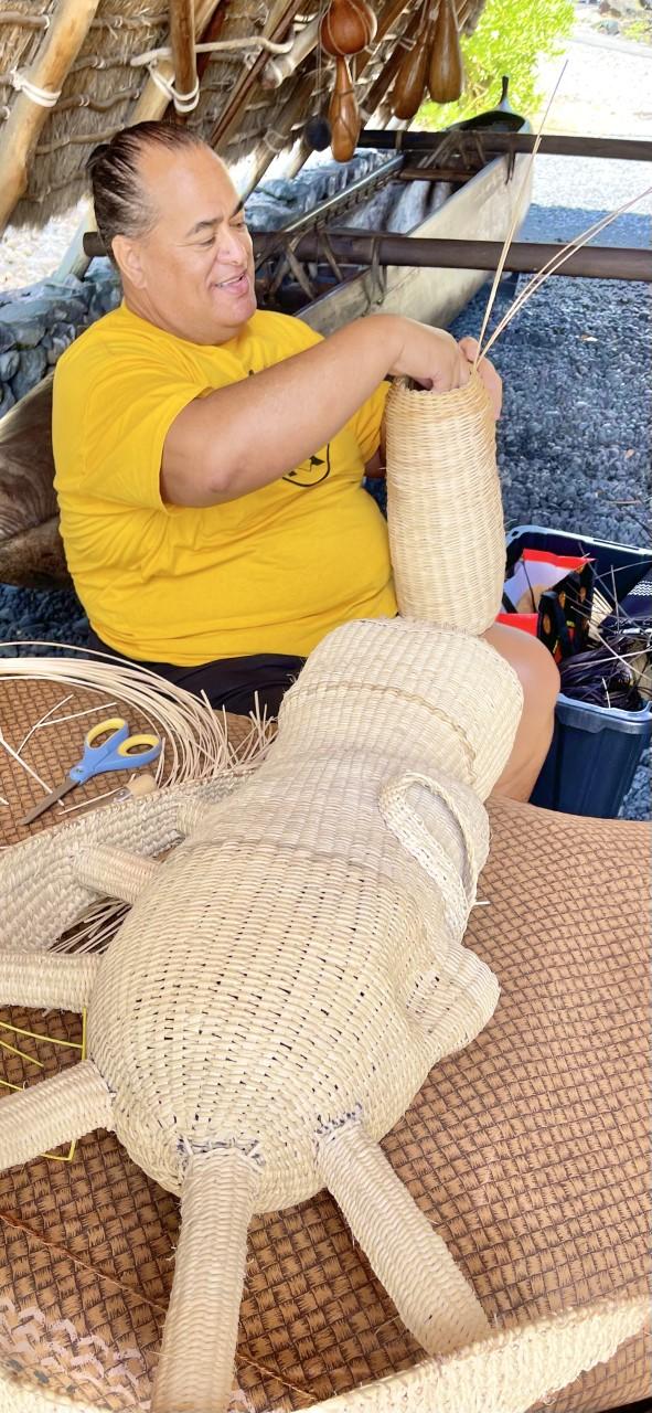 Free
 Free
 Free
 Free
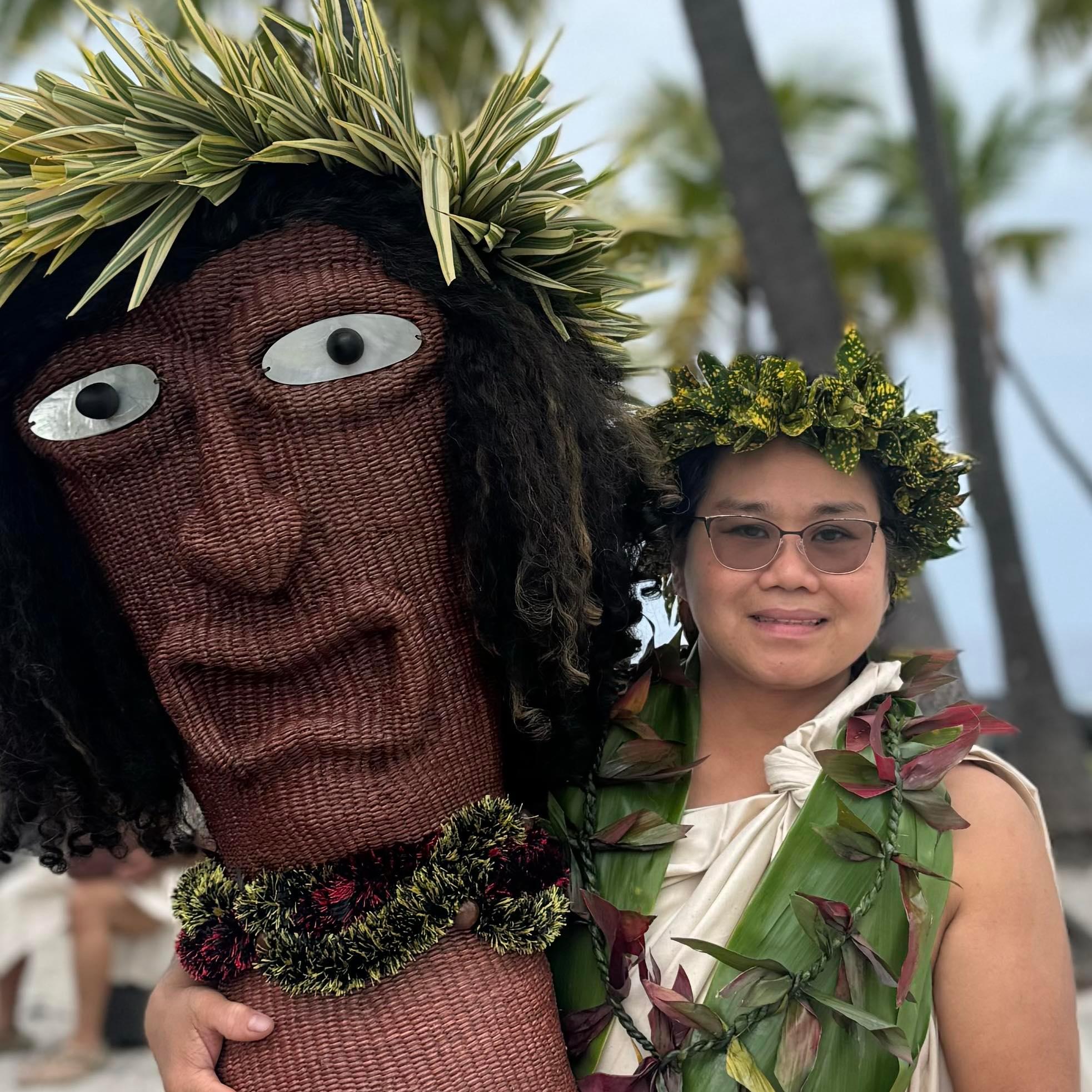 FreeFree
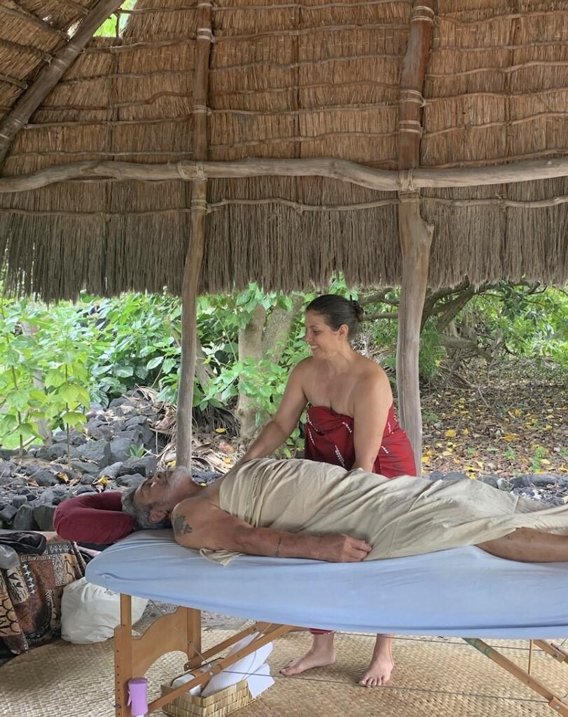 Free
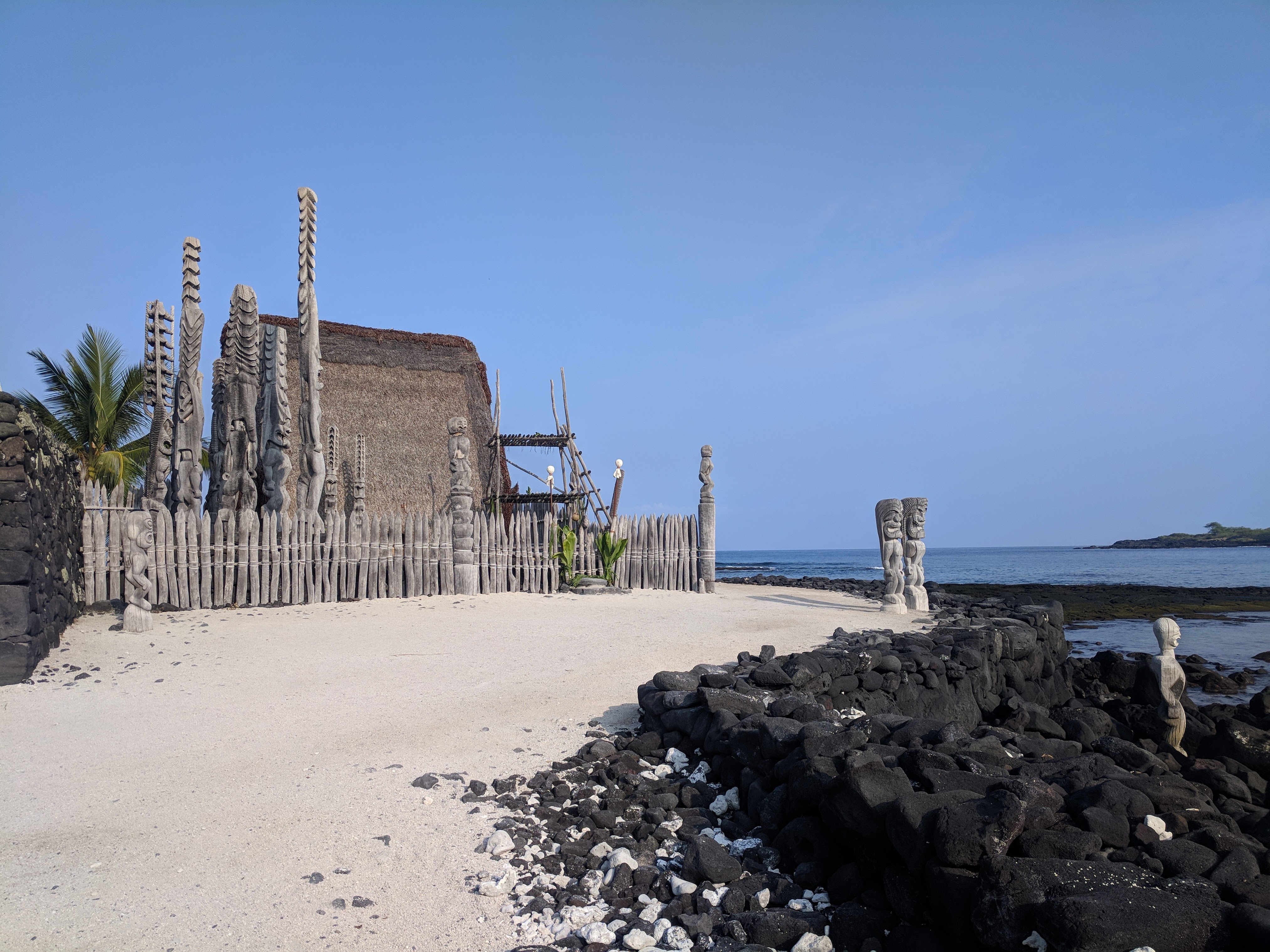
Been to Kekaha Kai State Park? Rate it and share the best time, where to park, what to skip.