national forest in the U.S. states of Oregon and Washington
Worth it
Scored from our data, not ads.
Weekdays · quietest around 8p
Weekends · quietest around 8p
Estimate from the type of place and how famous it is. Holidays run busier.
The Umatilla National Forest, in the Blue Mountains of northeast Oregon and southeast Washington, covers an area of 1.4 million acres (570,000 ha; 5,700 km2; 2,200 mi2). In descending order of land area the forest is located in parts of Umatilla, Grant, Columbia, Morrow, Wallowa, Union, Garfield, Asotin, Wheeler, and Walla Walla counties. (Columbia, Garfield, Asotin, and Walla Walla counties are in Washington, while the rest are in Oregon.) More than three-quarters of the forest lies in the state of Oregon.
Forest headquarters are located in Pendleton, Oregon. Local ranger district offices are in Heppner and Ukiah in Oregon, as well as in Pomeroy and Walla Walla in Washington.
Human history
The Umatilla National Forest takes its name from the Umatilla Indian word meaning "water rippling over sand".
In 1805, explorers Lewis and Clark passed through the area on the Columbia River.
In 1836, Marcus and Narcissa Whitman passed through to establish a mission at Wailatpu near Walla Walla, Washington. Thousands of emigrants later followed the Oregon Trail west, and many remained in the Blue Mountain region.
In 1851, gold was discovered in Oregon, leading to the settlement of the North...
Text from Wikipedia: Umatilla National Forest, CC BY-SA 4.0.
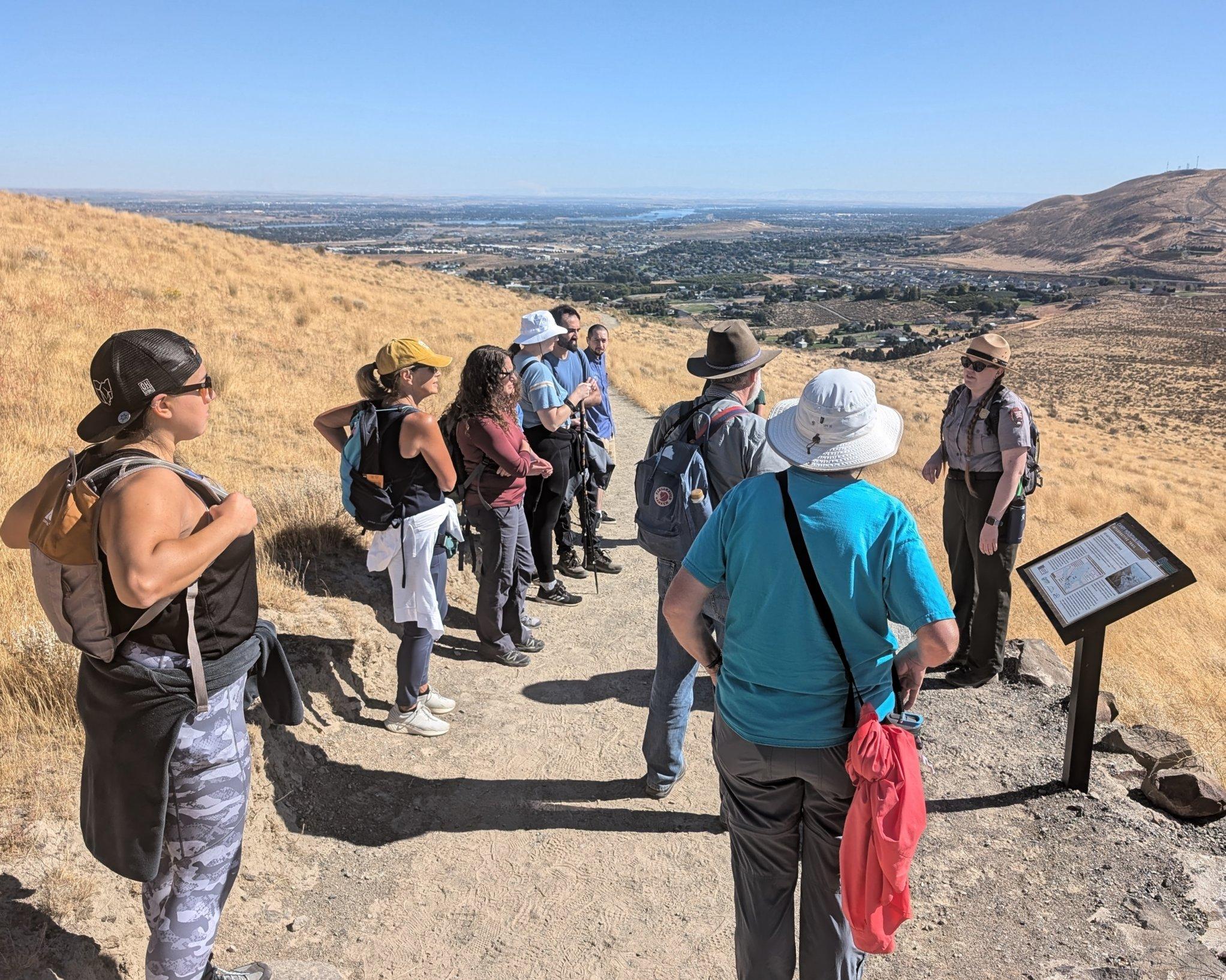
Official programs from the National Park Service. Details and sign-up on nps.gov.
 Free
Been to Umatilla National Forest? Rate it and share the best time, where to park, what to skip.