
Worth it
Scored from our data, not ads.
Weekdays · quietest around 8a
Weekends · quietest around 8p
Estimate from the type of place and how famous it is. Holidays run busier.
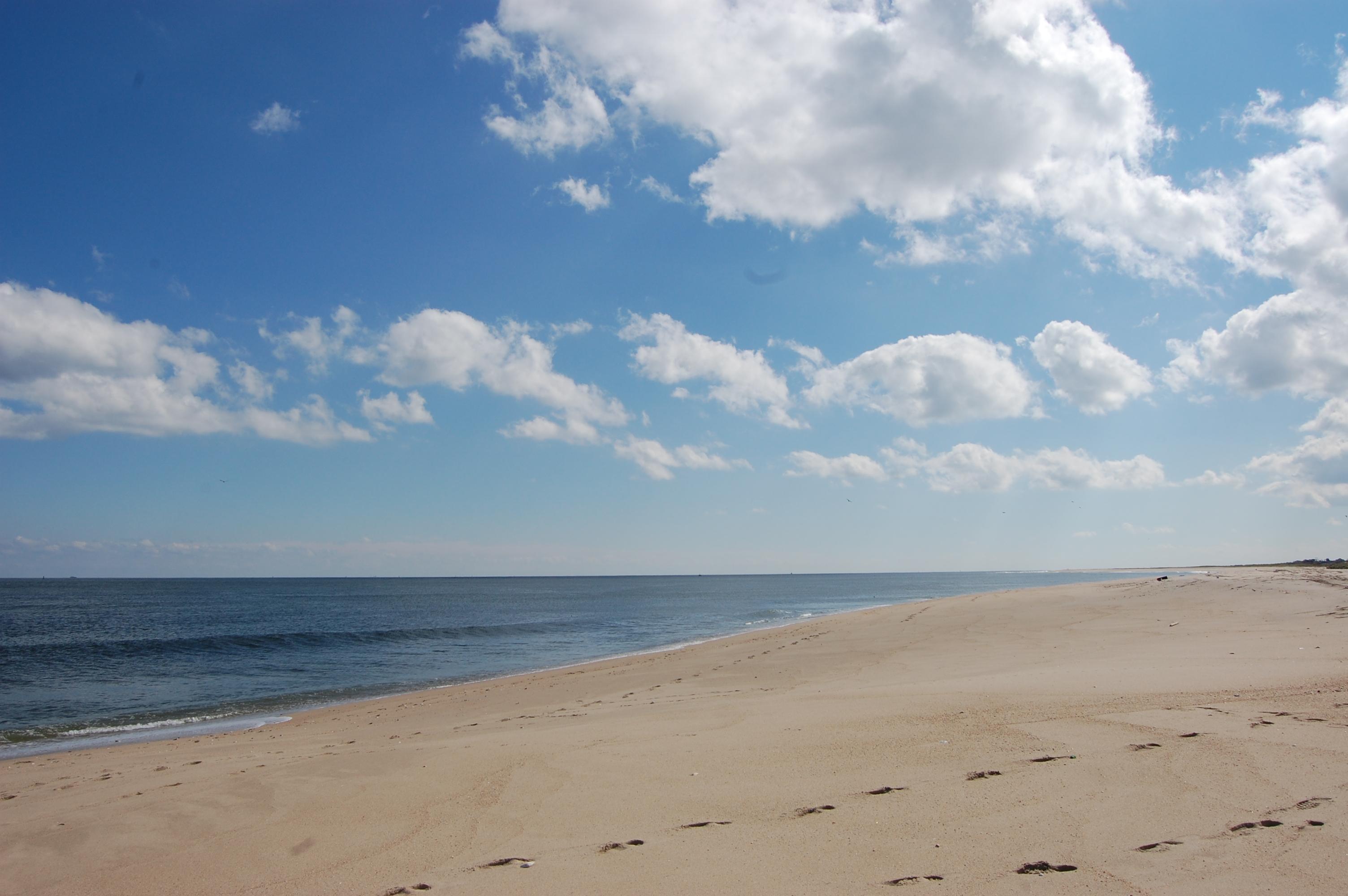
Hartshorne Woods Park (pronounced: hurt-shern) is a 736-acre (298 ha) county park located in Northern Monmouth County, New Jersey, United States, in New Jersey's Bayshore Region. The park has 16 miles (26 km) of trails, several old military bunkers and a small beach with a fishing pier. It is roughly bordered to the north and west by Navesink Ave and Route 36. Its southern borders are Hartshorne Road and the Navesink River. Its eastern border is the Upper Shrewsbury River. The Park is split into three sections from west to east: The Buttermilk Valley Section, the Monmouth Hills Section, and the Rocky Point Section.
History
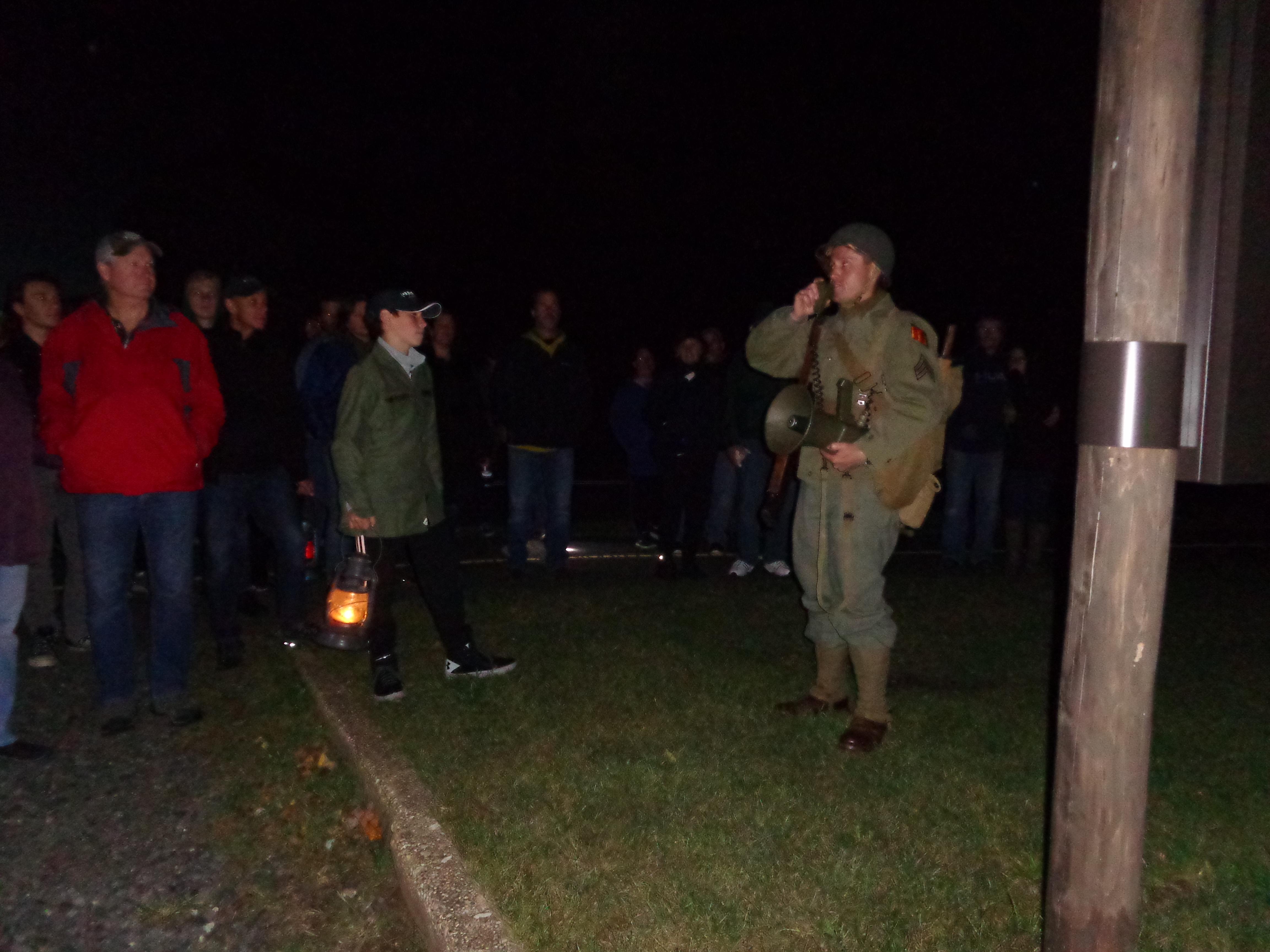
The park is named after Richard Hartshorne, who acquired the land from the Lenape for thirteen shillings after sailing to the Highland in 1674. Rocky Point, the 224-acre (0.91 km2) easternmost section of the park, contains a World War Two-era Coast Artillery site known as Battery Lewis on the former Highlands Military Reservation (also called Navesink Military Reservation). Later, the Highlands Air Force Station, a long-range air defense radar installation and the Highlands Army Air Defense Site (HAADS) were constructed here. The Air Force closed its installation...
Text from Wikipedia: Hartshorne Woods Park, CC BY-SA 4.0.
Official programs from the National Park Service. Details and sign-up on nps.gov.
 FreeFree
 Free
 Free
 Free
Been to Hartshorne Woods County Park? Rate it and share the best time, where to park, what to skip.

