
Worth it
Scored from our data, not ads.
Weekdays · quietest around 7p
Weekends · quietest around 7p
Estimate from the type of place and how famous it is. Holidays run busier.
The Brooklyn Heights Promenade, also called the Esplanade, is a 1,826-foot-long (557 m) platform and pedestrian walkway cantilevered over the Brooklyn-Queens Expressway (Interstate 278) in Brooklyn Heights, Brooklyn, New York City, United States. With views of Lower Manhattan's skyline and the New York Harbor, it came about as the byproduct of competing proposals for the highway's route that were resolved in the midst of World War II. Actual construction came after the war. As a structure built over a roadway, the Promenade is owned by the NYCDOT and is not considered a park; however, NYC Parks maintains the entire Promenade.
The Promenade runs from the west end of Remsen Street to the west end of Orange Street and can additionally be accessed from Montague Street and Pierrepont Place and the west ends of Pierrepont Street, Clark Street and Pineapple Street.
Planning
The need for a Brooklyn-Queens Expressway to connect the boroughs of Brooklyn and Queens predated World War II. A link between the Gowanus Parkway in Brooklyn and the Triborough Bridge in Queens was first proposed in 1936. In 1939, a topographical engineer with New York's then new City Planning Department mapped a...
Text from Wikipedia: Brooklyn Heights Promenade, CC BY-SA 4.0.
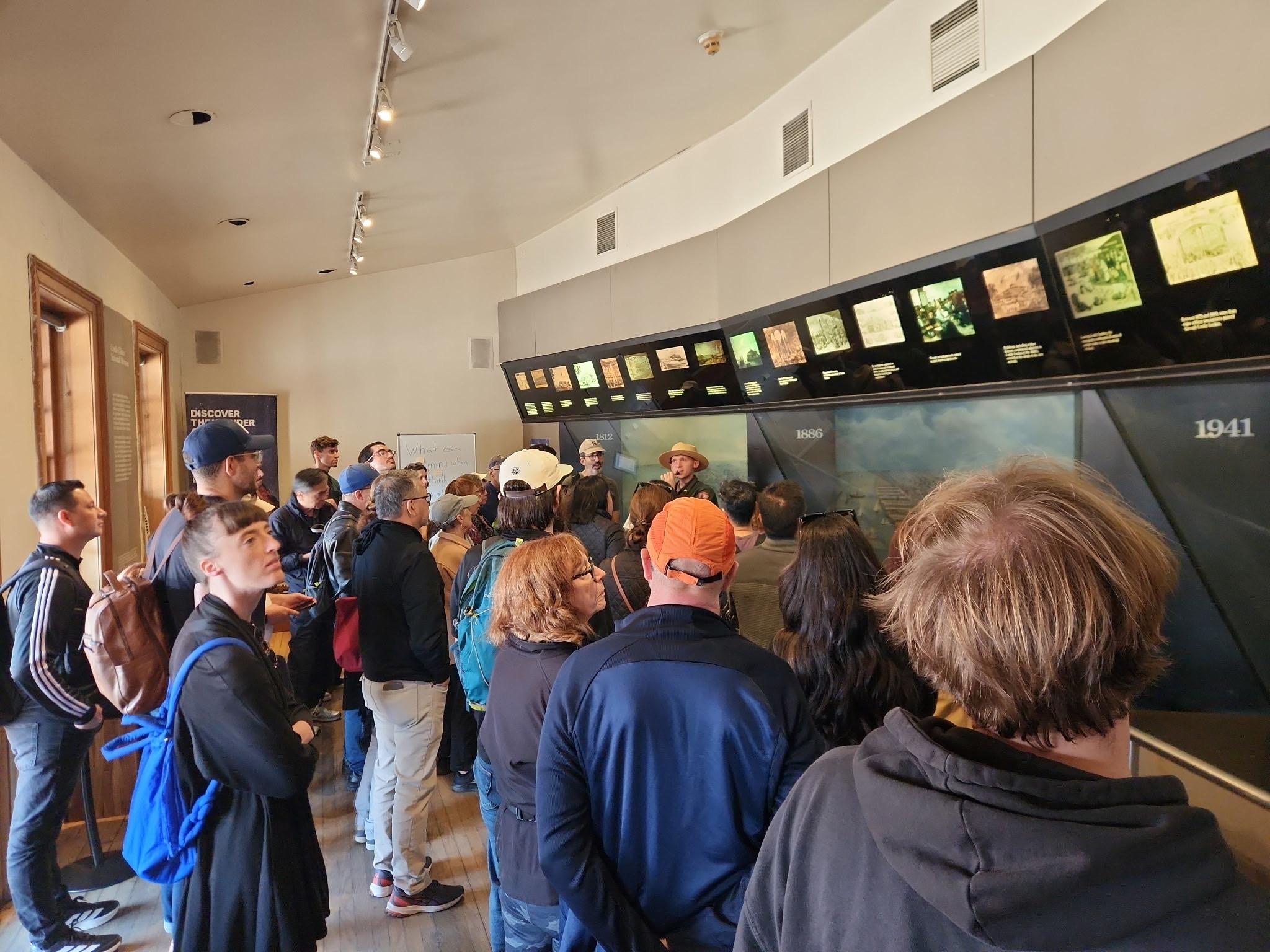
Official programs from the National Park Service. Details and sign-up on nps.gov.
 Free
 Free
 Free
 Free
 Free
 Free
Been to Brooklyn Heights Promenade? Rate it and share the best time, where to park, what to skip.



