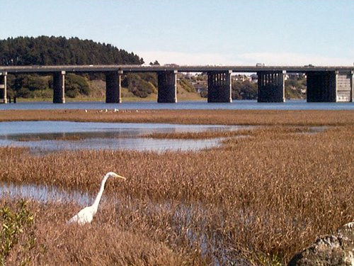
A surviving building from Marinship WWII Shipyard. Not eligible for listing on the National or California Registry of Historic Places.
Worth it
Scored from our data, not ads.
Weekdays · quietest around 6p
Weekends · quietest around 9a
Estimate from the type of place and how famous it is. Holidays run busier.
The U.S. Army Corps of Engineers Bay Model is a working hydraulic scale model of the San Francisco Bay and Sacramento-San Joaquin River Delta System. While the Bay Model is still operational, it is no longer used for scientific research but is instead open to the public alongside educational exhibits about Bay hydrology. The model is located in the Bay Model Visitor Center at 2100 Bridgeway Blvd. in Sausalito, California.
History
In the late 1940s, John Reber proposed to build two large dams in the San Francisco Bay as a way to provide a more reliable freshwater supply to residents and farms and to connect local communities. In 1953, the U.S. Army Corps of Engineers proposed a detailed study of the so-called Reber Plan. Cornelius Biemond proposed a similar plan which would dam the Sacramento River in the delta region to feed aqueducts with freshwater. Authorized by Section 110 of the Rivers and Harbors Act of 1950, construction of the Bay Model was completed in 1957 to study the plans. The tests proved that the plan was not viable, and the Reber Plan was scuttled.
The Sacramento-San Joaquin River Delta portion was added to the model in 1966-1969 to provide information for studies...
Text from Wikipedia: U.S. Army Corps of Engineers Bay Model, CC BY-SA 4.0.
Official programs from the National Park Service. Details and sign-up on nps.gov.
Ranger-led


Been to Bay Model Visitor Center? Rate it and share the best time, where to park, what to skip.